

Building the route: creating the Llwybr Coedwig Cymru Trail
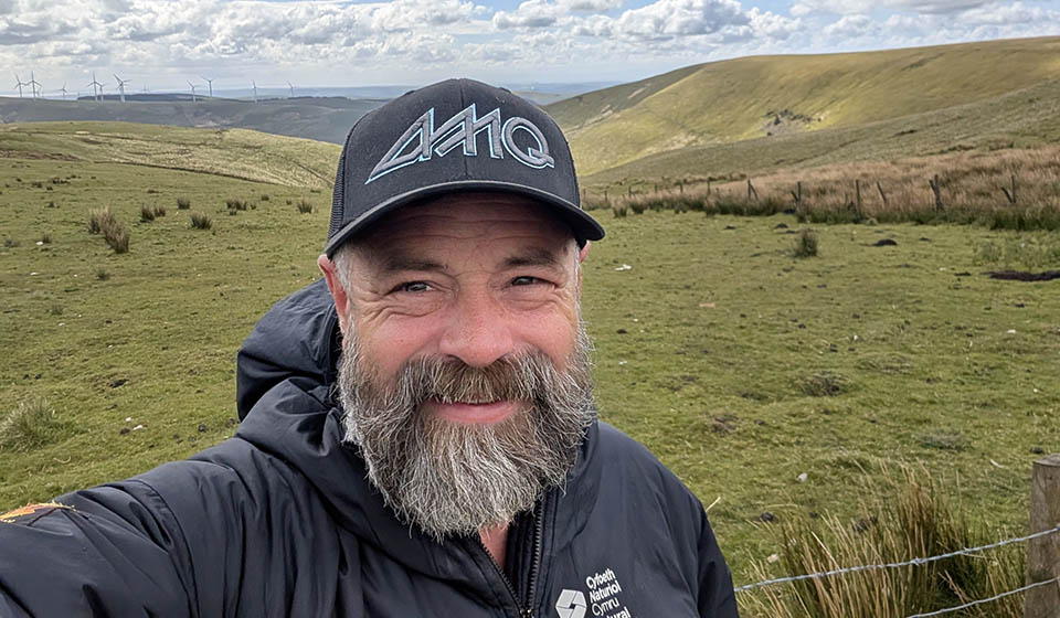
Rhodri Hewitt works for Natural Resources Wales in a role focused on outdoor recreation, access, and sustainable land management.
Rhodri played a leading role in developing the Llwybr Coedwig Cymru Trail - the pilot route for the National Forest for Wales long-distance trail network - overseeing route planning, landscape assessment, stakeholder collaboration, and on-the-ground trail development.
His work brought together local authorities, landowners, communities, and forestry teams to help create a route that connects people with Wales’ woodlands in a meaningful and sustainable way.
When people walk the Llwybr Coedwig Cymru Trail for the first time, I hope they feel connected - not just to the landscape around them, but to the wider vision behind the route.
The trail is the pilot section of what will eventually become a much larger woodland route connecting communities, forests, and green spaces across Wales as part of the National Forest for Wales. But before there were waymarkers, maps, or launch events, there were months spent walking tracks, studying landscapes and speaking with communities.
As part of my role at Natural Resources Wales, I’ve worked on access, recreation, and land management projects for many years, but this felt different from the start. There was an opportunity to help shape something entirely new - not just another long-distance trail, but a route that could eventually become part of a much bigger national story. In a similar way to how the Wales Coast Path become an iconic and world renowned walking trail and firmly placed Wales on the map as an international outdoors destination.
The Llwybr Coedwig Cymru Trail pilot route stretches from Porthkerry Country Park on the south Wales coast to Pont Walby in the heart of the Valleys. Around 80km in length, it is bookended by two nineteenth century viaducts, and links woodland sites, green corridors, communities, and Welsh Government woodland through a journey that gradually immerses people deeper into the landscape.
But creating a route like this isn’t as simple as drawing a line on a map.
Starting with the landscape
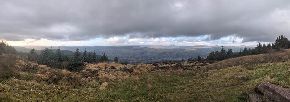
The earliest stages of the development of the Llwybr Coedwig Cymru Trail were really about exploration.
We spent a lot of time looking at existing rights of way, forestry tracks, quiet lanes, and areas that already offered strong links between woodland sites. At the same time, we thought carefully about how people would actually experience the route. We wanted walkers to feel close to trees and nature throughout the journey, while also ensuring the trail remained practical, safe, and sustainable.
Some days involved hours at a desk looking at maps and access data. Other days meant heading out into the landscape to test sections in person. That was always the best part for me.
You can learn a lot from maps and aerial imagery, but it’s only when you walk a route yourself that you start to understand how it really works. You notice where views suddenly open up, where woodland creates a sense of calm, where paths become difficult in poor weather, small details can completely change the experience.
I walked many sections repeatedly, often in very different conditions. Wales doesn’t always make route planning easy! - there were certainly many days of heavy rain, muddy boots, and moments where the route looked very different from how it had appeared on paper.
But those days were important because they helped shape the final trail.
Balancing access and conservation
One of the biggest challenges in developing the route was balancing public access with environmental considerations.
The National Forest for Wales is about creating a connected network of resilient woodlands that benefit people, nature, and communities. Any route through these landscapes has to respect that balance.
There were sections where we needed to think carefully about sensitive habitats, forestry operations, erosion risks, or how increased footfall could affect the environment over time. In some places, routes had to change entirely because what worked from an access perspective didn’t work environmentally.
At the same time, we wanted the route to feel genuinely immersive. Some of the most memorable stretches are the quieter woodland sections where you feel removed from roads and towns, even if only for a short time.
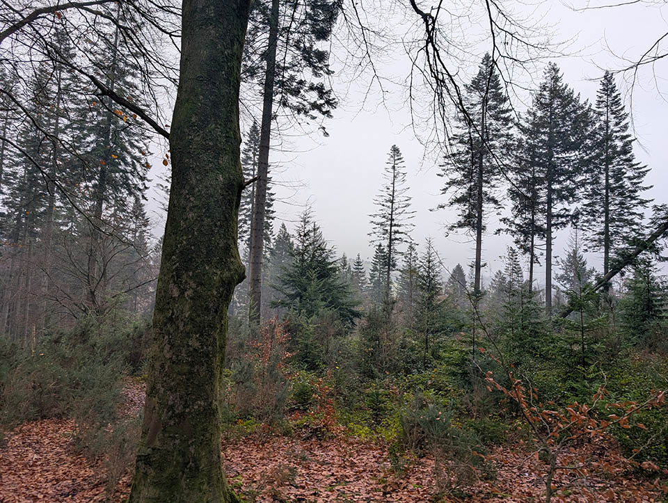
There’s something powerful about walking beneath tree canopy for long stretches, hearing nothing but wind through the trees and your footsteps on the path. We wanted people to experience that sense of escape while also understanding that these landscapes are carefully managed and protected.
Working with people along the way
A project like this only happens through collaboration. Developing the trail involved working with local authorities, landowners, forestry teams, community groups, access officers, and many others. There were a huge number of conversations throughout the process - some straightforward, others more complex and sometimes very difficult.
Every landscape has different pressures, priorities, and practical considerations, so listening was incredibly important.
Community input was also so important in shaping the final route. Local knowledge often highlighted details that wouldn’t necessarily appear on official maps - seasonal issues, problem areas, well-used paths, difficult crossings, or places that held particular importance to local people.
Those conversations helped create a route that feels grounded in the landscapes and communities it passes through.
One moment I’ll always remember was during an event in the Vale of Glamorgan, when one supporter of the project completely changed the atmosphere in the room. We’d been explaining the vision behind the trail and what we were trying to achieve, and you could sense people were still unsure.
Then they spoke up and immediately helped people see the bigger picture. From that point on, the mood shifted and suddenly it felt like the room was with us.
Moments like that really reminded me how important local support and belief in the project has been from the very beginning.
Discovering hidden parts of south Wales
One of the unexpected joys of developing the route was discovering places that many people may never normally encounter, and it’s just so lovely to experience the route as it changes gradually as you move north.
Starting at the coast, the trail eases walkers into the journey through gentler countryside and smaller woodland sites before gradually becoming more immersive and remote as it reaches the Valleys and larger areas of Welsh Government woodland.
Even after years of working outdoors, there were still sections that surprised me - hidden woodland paths, dramatic valley views, quiet forest tracks, and moments where the landscape suddenly shifts character.
One memory that has really stayed with me came during the final stages of developing the route, standing high on the mountains above Nant y Moel with completely uninterrupted 360-degree views across the landscape. From that vantage point, I could see National Forest for Wales sites stretching out in different directions, not to mention vast swathes of west Wales in one direction, the Bannau Brycheiniog in another, England in another. After months of planning, walking, rerouting, and problem-solving, it suddenly all clicked into place. Up there, the route stopped feeling like individual sections on a map and started to feel like one connected journey. That was probably the moment the Llwybr Coedwig Cymru Trail truly came alive for me.
Seeing the trail come to life
There wasn’t one single moment where the route suddenly felt “finished”. It happened gradually. Each stage - confirming sections and seeing maps come together - helped bring the project to life.
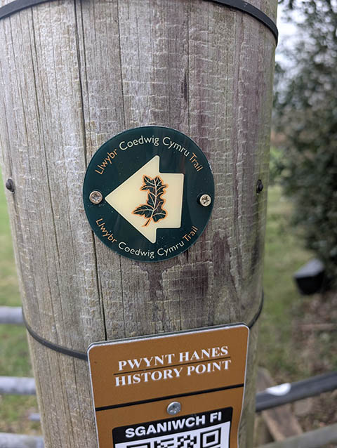
But seeing somebody complete the full pilot route for the first time was particularly rewarding. When content creator, @walkingwithlauren took on the three-day journey at the route’s launch in March 2026, it felt like the trail had moved from an idea on maps and planning documents into a real experience people could connect with. And I absolutely loved how much she enjoyed the experience, and the content she created on her journey was just so inspiring.
That’s ultimately what the project is about. We want people to explore Wales differently - to slow down, spend time in woodland, travel through landscapes on foot, and experience the changing character of the country in a more immersive way.
And the Llwybr Coedwig Cymru Trail is only the beginning. As the National Forest for Wales continues to grow over the coming years, the ambition is to strengthen those connections between woodland sites and communities across the country.
If people walk the trail and come away feeling calmer, more connected to nature, and more aware of the landscapes around them, then I think we’ve achieved something worthwhile.
Want to know more?
The Llwybr Coedwig Cymru Trail is made up of 4 different sections.
Each of them beautiful trails through National Forest sites.