
Llwybr Coedwig Cymru Trail
A circa 80km waymarked pilot section of the Llwybr Coedwig Cymru Trail connecting you to some of our National Forest sites in South Wales.
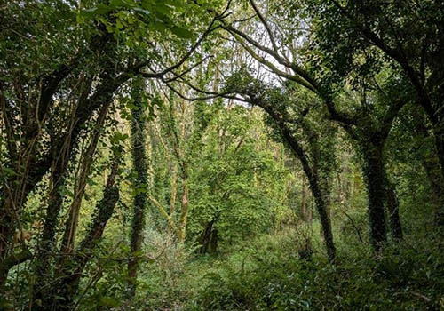
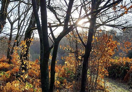
You will see the variety of woodlands and forests, from mixed broadleaf through to productive forests – something for the family to enjoy, nature lovers and those looking for an adventure by foot, wheel or hoof!…….the journey starts now….
About the trail
This pilot section of the Llwybr Coedwig Cymru Trail is the first step in its wider development across Wales – an ambitious project to develop a forest Trail that connects our National Forest sites throughout Wales.
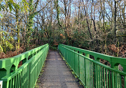
This trail follows existing Rights of Way Networks and provides a range of perspectives of our woodlands and trees, from being under tree canopy cover to awe inspiring views of our forestry landscapes.
Further work will be undertaken to develop the trail and we will continue to update this website.
Find your route

Llwybr Coedwig Cymru Trail map
The map may not be accessible to all users. To request an alternative format, please email digital@gov.wales.
View the full map on DataMapWales.
Download the Llwybr Coedwig Cymru Trail routes as GPX files. These files allow you to add the routes to GPS devices or apps.
Map legend
Image
| Porthkerry to Hensol Forest | Image
| Hensol to Llantrisant Forest |
Image
| Llantrisant to Nant y Moel | Image
| Nant y Moel to Pont Walby |
Image
| National Forest for Wales | Image
| Llwybr Coedwig Cymru Trail: section start / end |
The colour of the trails on the map represent each different section of the trail. They do not represent the type of path.