

Llwybr Coedwig Cymru Trail: find your route
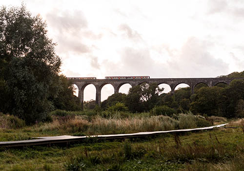
Starting along the coast, immerse yourself in woodland and travel your way through one of the most diverse sections.
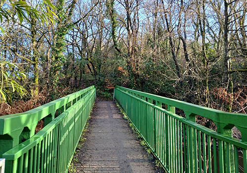
Explore a mix of rural and urban woodlands, each offering something unique along the trail.
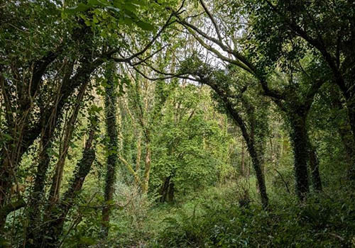
A cycle friendly stretch following National Cycle Network 4 and 883.
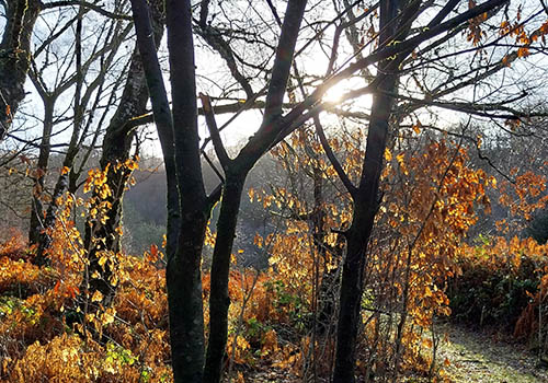
Enjoy sweeping panoramic views before heading into the trail’s most wooded section.
Llwybr Coedwig Cymru Trail map
Route diversions and closures
There are currently some route diversions and closures in place on the Llwybr Coedwig Cymru Trail.
The map may not be accessible to all users. To request an alternative format, please email digital@gov.wales.
View the full map on DataMapWales.
Download the Llwybr Coedwig Cymru Trail routes as GPX files.
These files allow you to add the routes to GPS devices or apps. Please note GPX files do not contain any temporary closures or diversions.
Map legend
Image

| Porthkerry to Hensol Forest | Image

| Hensol to Llantrisant Forest |
Image

| Llantrisant to Nant y Moel | Image

| Nant y Moel to Pont Walby |
Image

| National Forest for Wales | Image

| Llwybr Coedwig Cymru Trail: section start / end |
The colour of the trails on the map represent each different section of the trail. They do not represent the type of path.